Gazetteer
Mapping The Grassroots
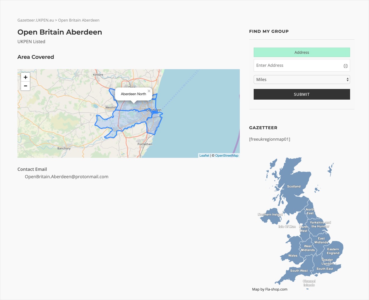
The Gazetteer is our flagship project with the aim of mapping out the entire pro-European grassroots campaign in the UK.
Some have wondered about the utility of the gazetteer approach. “Just make a list”, they say, “alphabetical order will do fine”. And for some purposes that is right. But for seeing who is where, who can practically link up with whom, and why some places just seem to fall between several stools, only a map will do. For lobbying MPs, the constituency unit is the only thing that matters, but for organisational purposes more widely recognised names like counties or towns do the trick. If it comes to a further voting campaign we will need to know our territories, and we will need to be organised everywhere, not just in the places where groups have sprung up naturally. That’s why the maps matter.
Our colleagues over at SMIU have a map of facebook groups here facebook pages here, and twitter accounts here.
We are currently actively looking for additional technical support, if you know of any leads please contact us.
Current Gazetteer
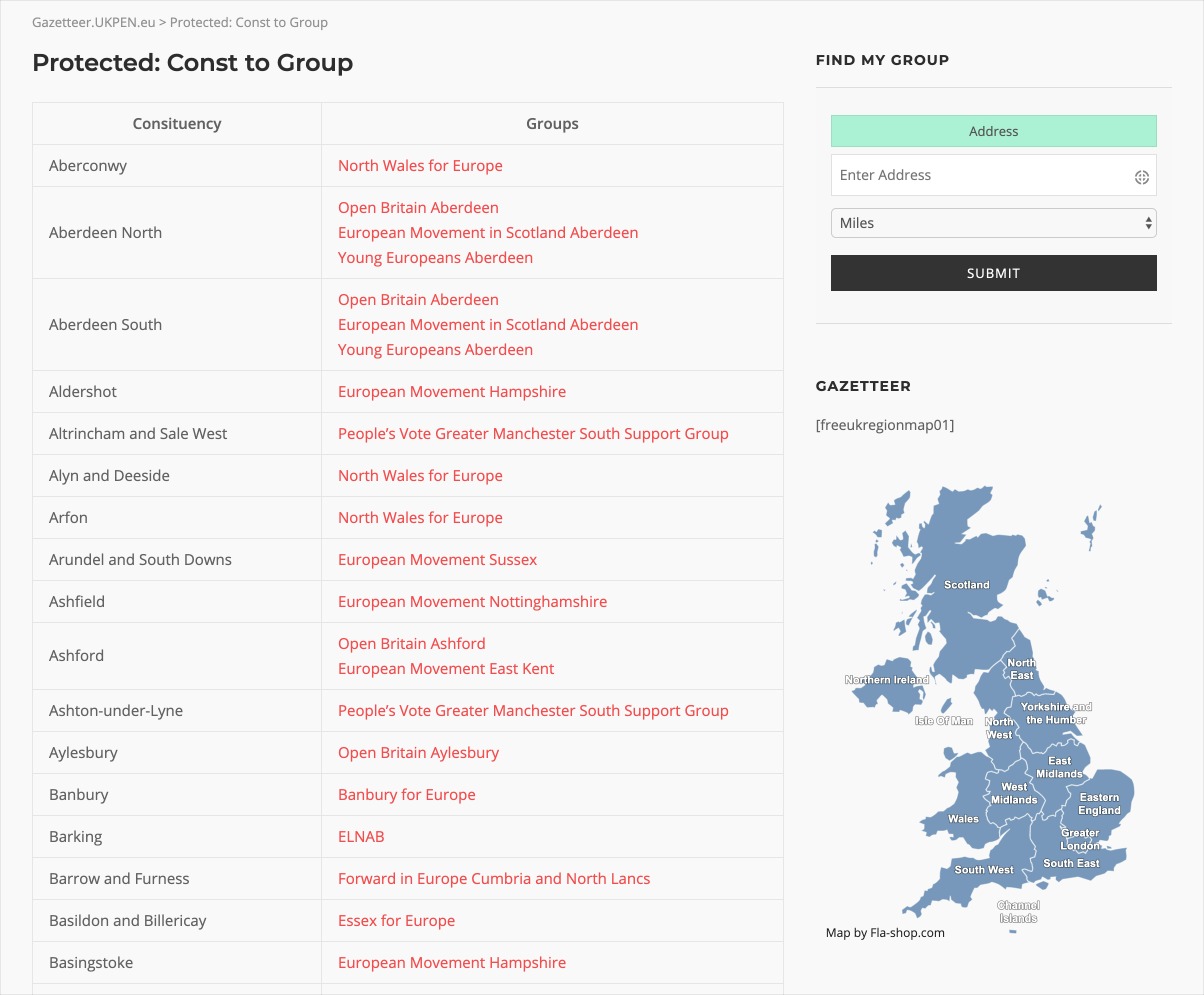
The Gazetteer is still very much in development but we are able to show you a live preview with current group data listed by constituency.
This is only available to logged in UKPEN-Linked groups. This data is updated weekly so your group may not appear straight away. If you are not a group but a partner we can give you access to the live data, please contact us.
Find My Group
Test our 'Find Your Group' tool. It is still in development so if you see any issues send them to us!
(Data intensive - do not use on metered networks)
Istopbrexit.info
In parallel to the group listings we also have community built pages with maps of regionals and districts to help with planning your campaign activities. If you would like to help develop your regional pages please contact us.

The aspiration here
is to have a database of groups that can be explored through different layers of maps allowing for easy navigation by the human user. The maps will consist of dynamic GIS-based windows with links through the different levels of UK organisation revealing groups active on the ground.
If you are interested in the development of the project then please visit the live development site
